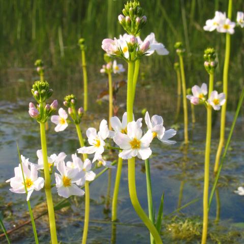
The tidal area of the Scheldt is a unique melting pot of functions. It is at the same time an economic region, a densely populated area, an internationally renowned natural phenomenon and a paradise for hikers and cyclists who come to taste the rich mix of nature and culture. Equally characteristic of the Scheldt are the heavy floods with which it has plagued its valley in the past. The Scheldt is also called the artery of Flanders.
The Scheldt and Durme estuary extends from Ghent to the Dutch border north of Antwerp on the territory of the provinces of Antwerp and East Flanders. More than half of the area consists of mudflats, salt marshes and deep to shallow water areas. Scattered in the river valley are swamps, moist grasslands and wet forests. On a small area you will also find fossil river dunes with dry grasslands, heaths and forests.
We would like to highlight the 'Polders van Kruibeke' area here. The Kruibeke Polders are a strategic link in the Sigma Plan. To protect Flanders from flooding, controlled flood areas are being constructed at strategic locations along the Scheldt and its tributaries. At dangerously high water levels, the water flows over the overflow dike, thus preventing flooding elsewhere. The ring dike inland protects the hinterland.
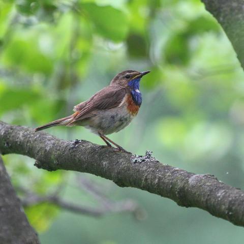
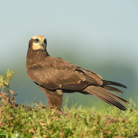
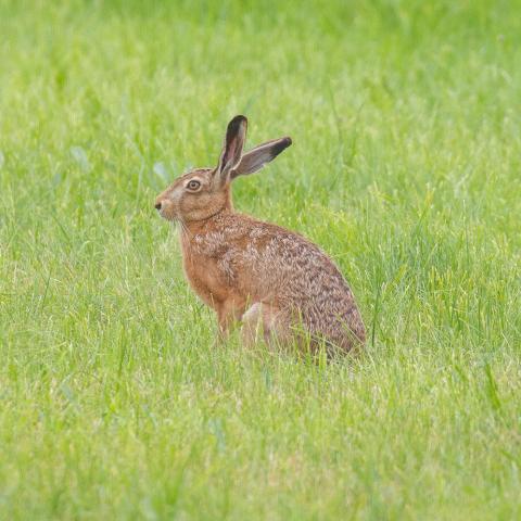
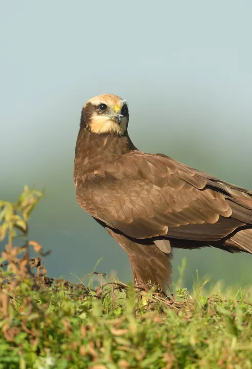
All together, a contiguous nature reserve of 600 hectares is growing here. Due to valuable biotopes such as alder swamp forest, mudflats and salt marshes and meadow bird areas, the area will make an important contribution to the nature goals at Flemish and European level. In terms of birds, you can spot blue heron, avocet, marsh harrier, bluethroat... and many others here. The Kruibeke Polders already have a great diversity of species, which we are quite proud of. Mammals such as hare, deer, beaver and otter have a great time here.
Click here for more information about the Polders van Kruibeke area!
Click here to go to the Bioblitz page of this Natura 2000 area.
Click here to install Obsidentify.
